Slovenski INSPIRE metapodatkovni sistem
Contact for the resource
Geological Survey of Slovenia
32 record(s)
Type of resources
Categories
INSPIRE themes
Keywords
Contact for the resource
Formats
Representation types
Scale
Resolution
-
Product by the Pangeo project: http://www.pangeoproject.eu/ PanGeo provides information about the stability of the ground on which we live, work and play. Ground instability, or "geohazards", affect us all. They can be dangerous and costly, yet information on these phenomena can be difficult if not impossible to obtain. The PanGeo service provides entirely free access to geohazard information for many of the largest cities in Europe .
-
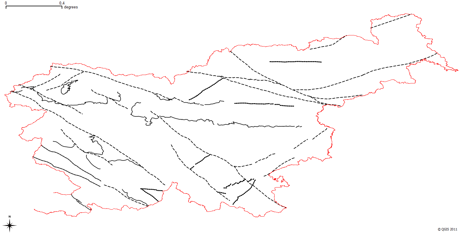
Layer shows discontinuities in the geological structure, and characterizes them according to their type and observation method.
-
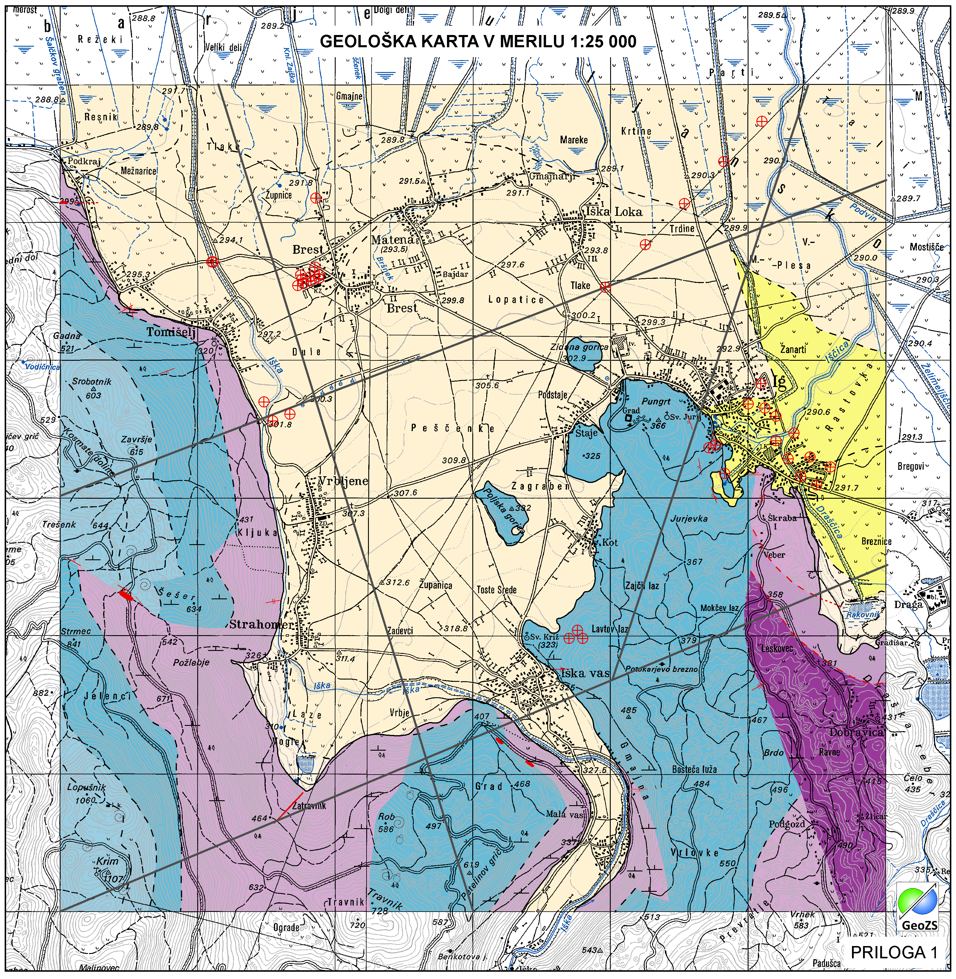
The harmonized geological map of Slovenia is a simplified version of the 1:250 000 scale Geological Map of Slovenia (Buser, 2009), which was compiled using the Basic Geological Map of Slovenia at a scale of 1: 100.000 (compiled by various authors during the 1960's to 1980's) with the addition of new information by Buser. It is primarily a lithostratigraphic map.The faults were selected for portrayal using two criteria; regional extent and tectonic importance. The map presented here was edited specifically for the purpose of the OneGeology-Europe project by M. Bavec, M. Novak, M. Poljak, M. Trajanova and D. Skaberne.
-
Product by the Pangeo project: http://www.pangeoproject.eu/ PanGeo provides information about the stability of the ground on which we live, work and play. Ground instability, or "geohazards", affect us all. They can be dangerous and costly, yet information on these phenomena can be difficult if not impossible to obtain. The PanGeo service provides entirely free access to geohazard information for many of the largest cities in Europe . The PanGeo service is aimed at local authorities, civil protection agencies, geological surveys, the public, insurers and businesses providing environmental and land reporting services. The service and products available are entirely free to use, even for commercial gain, providing appropriate credits are given (see licence terms). Information in PanGeo is derived from detailed analysis of local geological data combined with satellite measurements of ground movement.
-

Geophysical cross sections show the geophysical characteristics of the sediments and bedrock at depth.
-

Layer shows the zones where the rock is systematically fractured.
-

-

Layer Boreholes shows the localities where structural boreholes were drilled.
-

Layer Geomorphologic Features shows the location of various types of geomorphological phenomena. Only point data are included.
-